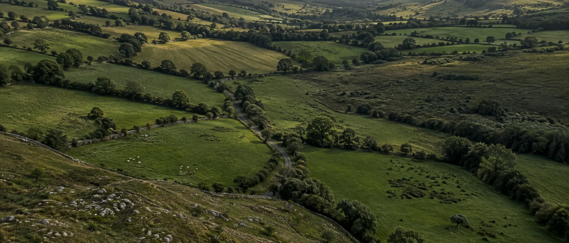
LandScope is being built to help you compare land against your project—bringing planning policy, infrastructure changes and site constraints together, with the evidence to decide where to look closer.
Illustrative assessment of a fixed set of sites. No live search or replacement candidates; ownership, legal access and connection terms remain unverified.
The product vision
See the opportunity behind the parcel.
LandScope is being built to find land against your strategy—and explain its potential through connected planning, infrastructure, policy and constraint signals.
3candidates carried forward
80 cadastral title extents in view · 10 assessed
Illustrative export screen · 20 MW · 4 ha minimum
Product preview · In development · Illustrative signals on real title mapping.
One project, as an exampleSolar · East Galway · 20 MW · 4 ha minimum
Shaped by the brief above
Rural Galway · worked example window
Illustrative scenario · sample dataIllustrative · sample data
The worked example draws a real area of interest on an interactive map, which needs JavaScript. Turn JavaScript on to see the map and the figures it produces.
Loading the example map…
Static view.The interactive map could not start. This is the same computed map as a still image; the imagery and Compare imagery need the interactive version.
The sample capacity range for B covers the example’s demand.
Connect capacity evidence, planned reinforcement and delivery timing to the project decision.
The question to resolveWhich connection route, upgrade milestones, costs and terms would actually apply?
Policy intelligence / intended capability
Understand the rules that apply.
Connect development-plan wording, zoning and amendments to the parcel, proposed use and policy in force at the time.
The question to resolveDoes the applicable policy support the proposal, limit it or leave an interpretation open?
No parcel-specific policy finding is shown in this preview.
Constraint intelligence / illustrative overlaps
Separate a stop from an open question.
In this sample, exclusions remove some parcels; a flood overlap leaves A with a review flag.
Distinguish hard constraints from matters that need investigation, and assess the land left available for the project.
The question to resolveWhat usable ground remains, and which constraints need specialist review?
A nearby record is not automatically relevant. The relationship to the parcel has to be established.
An opportunity you can explain.
Know why a parcel surfaced, how it compares with alternatives and what needs to happen before you commit.
The sample assessment
B
Investigate further.
What supports the case
Land area and sample capacity meet the brief.
What remains open
Planning relevance, applicable policy, ownership, legal access and connection terms.
The next move
Check the planning context and establish the connection and access position before committing to the site.
The sample ranking is B → C → A. Its limited calculation is available below.
Inspect the worked calculation Selection, comparison and ranking
The preview above describes the intended product. This fixed Galway calculation demonstrates a narrower set of rules: usable area, illustrative capacity, review flags and road distance. Planning interpretation and policy do not change its ranking. It is not a live search or a verified development recommendation.
Evidence ledger
Evidence ledger Every datum, its class, its source and its limits
Classification, source, retrieval, method and limitations for every class of datum in the demonstration
Datum
Class
Source
Retrieved
Method
Limits & unknowns
Layers
Show
Surface
County Galway: illustrative planning context
Decided applications, 2019–2025
—
Share granted
—
Median weeks to decision
—
Most-cited refusal theme
—
Appealed to An Coimisiún Pleanála
—
Share granted per 5 km cellunder 45% to 75% and overfewer than 3 decisions
Illustrative planning figures for solar, battery and wind projects, 2019–2025. These are sample counts, not published statistics or a site search.
Parcels, roads, water and buildings: Tailte Éireann.
01
Find the candidates.
Source geometry
Start with the mapped properties.
The map contains 80 registered-property shapes. Ten enter this example’s assessment after boundary and size checks.
Why these ten?
Only complete title extents inside the study window enter the assessment. These are registered-property shapes, not confirmed development sites.
— title extents intersect the window; — sit wholly inside it; — are at least 2 ha gross and assessed after a 12 m setback.
A cadastral title extent is a registered-property polygon, not a field boundary, ownership record or confirmed developable site. Land Registry mapping is not conclusive as to its exact legal boundary or extent.
Constraints & selection
—
The example removes sites with exclusion overlaps or too little usable ground. A review flag keeps a question open.
Inspect the screening trail
This example applies illustrative exclusion and review rules. They do not establish a legal prohibition.
—
Special Area of Conservation · 1 title extent removed
Flood Zone A · 1 title extent removed
Flood Zone B · a review flag on A only, never a hard stop
—
—
A, B and C retain their source geometry and their identity through the decision.
02
Look beyond the boundary.
Usable ground
Is there enough usable ground?
The dashed outlines show the area left after the example’s setbacks and exclusions. Compare it with your minimum.
A
— ha
B
— ha
C
— ha
Minimum
—
Inspect ground and access
Dashed outlines are the computed developable areas after a 12 m setback and hard stops. The rendered outline is the geometry used in the screen, computed in Irish Transverse Mercator from Tailte Éireann title extents.
All three sit on slopes under 2% and clear of peat in this illustrative scenario. An area threshold is not confirmation that a project fits.
Measured to
—
Straight line
—
Computed road route
—
Road access is not a grid connection. ——
Connection evidence
Does the sample capacity cover the project?
B and C meet the example’s capacity requirement. A remains uncertain.
Illustrative grid figures. These are not available capacity or connection offers.
Inspect the grid comparison
Solid lines show power lines; dotted lines show each site's illustrative connection to its nearest station.
—
SiteNearest substation straight line from developable areaHeadroom per substationFirm per substation———
The station, headroom and firmness figures here are illustrative. A real assessment would need dated, sourced connection evidence; queue position, contracted headroom and curtailment remain for a connection enquiry.
Road distance
Closer on the map can mean further by road.
The routes follow the mapped road network to one reference point chosen for this example.
The reference point is not a surveyed entrance. These routes do not confirm legal access or a grid connection.
03
Choose where to investigate.
Shortlist order
B and C clear the 21.1 MVA requirement. B leads on the shorter computed road route.
A reason to investigate further. Ownership, legal access and connection terms still need checking.
A shortlist is a decision to investigate, not a development consent.
Open a candidate above for its area, capacity, access and review evidence. The evidence ledger records each data class, its source and its limits.
Illustrative landscape, not the worked parcel
INTENDED WATCH SCOPE
GridPublished capacity and reinforcement milestones
PlanningApplications, decisions and appeals
PolicyDevelopment plans and zoning changes
ConstraintsFlood and designation boundaries
04 AFTER THE SHORTLIST
Know when to look again.
LandScope is being built to watch published changes around the parcels you choose, then surface the ones that matter to your brief.
ILLUSTRATIVE SCENARIO / CANDIDATE C
A grid upgrade moves forward. What changes for C?
Suppose a published network plan advances a nearby reinforcement. C may warrant another look, but a planned upgrade is not available capacity or a connection offer.
Read
Check the published project, stage and date.
Link
Establish which node and route could serve C.
Decide
Revisit timing; leave capacity and cost unresolved.
Illustrative scenario only. No live alert or confirmed upgrade is shown.
Galway County Council adopted a change to its development plan on 16 February 2026. Its notice identifies a correction to Oranmore’s zoning map.
Change adopted
Source checked
What still needs checking
Whether the corrected map affects your site, and which plan wording applies. This notice alone does not establish what can be built on a parcel.
Inspect source details +
Publisher
Galway County Council
Reference
Variation No. 1 · Part C
Publication date
Not stated on the notice. The date above is when the council made the variation.
Parcel relationship
Not assessed in this demonstration.
Real source. Demonstration reading.This shows how evidence can be inspected. It is not a live site recommendation.
Questions
Before you take it further.
Where LandScope starts, who it’s for, and what to expect from this demonstration.
01Can I use LandScope today?
Not yet. LandScope is in development.
The first focus is helping teams assess land they are already considering. Discovery and monitoring are longer-term capabilities; the examples here are not live searches or alerts.
02Is it only for renewable energy?
No. Your project sets the brief.
The renewable project on this page is a worked example. LandScope is being designed for different kinds of land decisions, with relevant evidence and screening rules for each use case.
03Which areas will it cover?
Galway first. Ireland is the ambition.
Galway is the first worked geography. Coverage will expand as parcel links, source coverage and screening rules are validated. This demonstration does not offer a nationwide search.
04Does it replace due diligence?
It helps you decide where to look closer.
A shortlist is an initial screen against your brief. Planning consent, connection terms, ownership, access and site conditions still need their own checks. It is not a confirmation that a site can be developed.
05What happens to the requirements I enter?
The capacity and area you enter stay in your browser.
They update this fixed demonstration locally. Changing them does not submit your requirements to LandScope or run a live land search.
06Can it tell me who owns a site?
A mapped title extent is not an ownership record.
This demonstration does not provide owner names, exact legal boundaries or land control. Those require separate, authorised checks.
Design partners
Help shape LandScope around your work.
Bring a land decision you are working through. Help shape how LandScope brings together the evidence, constraints and open questions your team needs to assess it.
For teams finding, comparing or watching land in Ireland.